There is hope that commuters will no longer have to wade through deeply flooded streets caused by high tides, residents will no longer have to bail floodwaters out of their homes, and quiet, customerless shops will no longer be forced to close due to flooding.
No more vehicles wading through deeply submerged roads during high tides, no more bailing floodwater out of living rooms, and no more desolate stores closing down due to inundation. This highlights the crucial role of Phase 1 of the project "Tidal Flood Control in Ho Chi Minh City Considering Climate Change Factors" (the tidal prevention project), which will control tides and prevent flooding across nearly 570 km² along the right bank of the Saigon River and downtown districts—including Districts 1, 4, 7, 8, alongside Binh Chanh and Nha Be districts—once fully operational.
According to studies, Ho Chi Minh City is ranked among the top 10 cities worldwide most vulnerable to climate change impacts (projections indicate flooded areas of 128 km², 204 km², and 473 km² by the end of the 21st century under sea-level rise scenarios of 65 cm, 75 cm, and 100 cm, respectively). Controlling tidal flooding through passive means alone is virtually impossible; therefore, developing and deploying a sustainable, eco-friendly flood management strategy remains imperative.
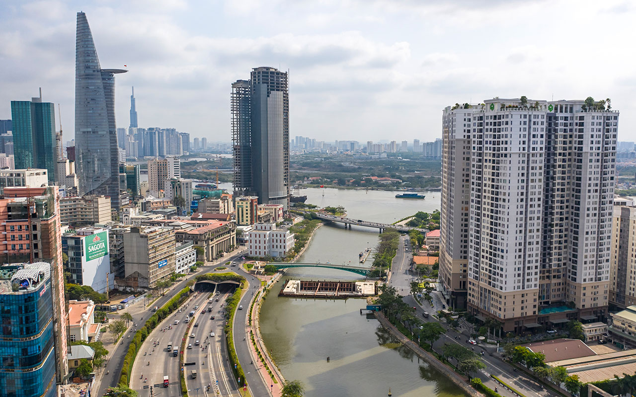
Currently, Ho Chi Minh City faces increasingly complex high tide events that disrupt daily life and inflict severe losses on socio-economic development. While high tides in previous years were relatively low and concentrated in late months, tidal surges now occur year-round, frequently exceeding Warning Level 3 and reaching heights above 1.7 meters, triggering widespread flooding.
In addition to low-lying areas historically prone to tidal floods—such as District 4, District 7, Nha Be, and Binh Chanh—unprecedented tide surges now submerge major thoroughfares in District 1, an elevated central zone equipped with complete drainage networks.
Whenever high tides cause deep flooding, daily routines and commercial activities suffer severely. Vehicles navigate foul-smelling floodwaters, often stalling out; families scramble to bail out incoming water and haul belongings to higher ground; and business owners shutter shopfronts to prevent merchandise from water damage.
Explaining these abnormal tidal patterns, environmental experts in HCMC point to multiple factors, spearheaded by climate change. Rising sea levels generate intensified tidal surges that fluctuate dramatically year after year. Simultaneously, rapid urbanization transforms historically benign tides into destructive surges, creating localized high water levels and turbulent whirlpools that aggravate flooding.
Meanwhile, highway engineers note that tidal flooding occurs because peak tide levels in HCMC reach roughly 1.7 meters relative to national datum, whereas average city elevation sits at just over 1 meter. Consequently, rising tides backflow directly upward through low-lying drainage pipes. Localized road depressions, small existing culverts (D400 - D600), heavy short-duration rainfall, and slow drainage response times exacerbate urban flooding. Furthermore, aging drainage infrastructure has degraded over time, while main downstream drainage arteries lack sufficient capacity.
Drainage networks across the Tan Hoa - Lo Gom, Doi, Te, and Hang Bang canal basins sit at 1 meter elevation compared to the national datum. However, coping with tidal peaks demands a drainage elevation of 1.7 meters. Achieving this would require elevating entire road surfaces and drainage pipes—a costly endeavor that severely impacts residential homes, as demonstrated on Kinh Duong Vuong Street where houses ended up far below road level. Constructing continuous dykes along both banks of the Saigon River presented another alternative, but required astronomical capital.
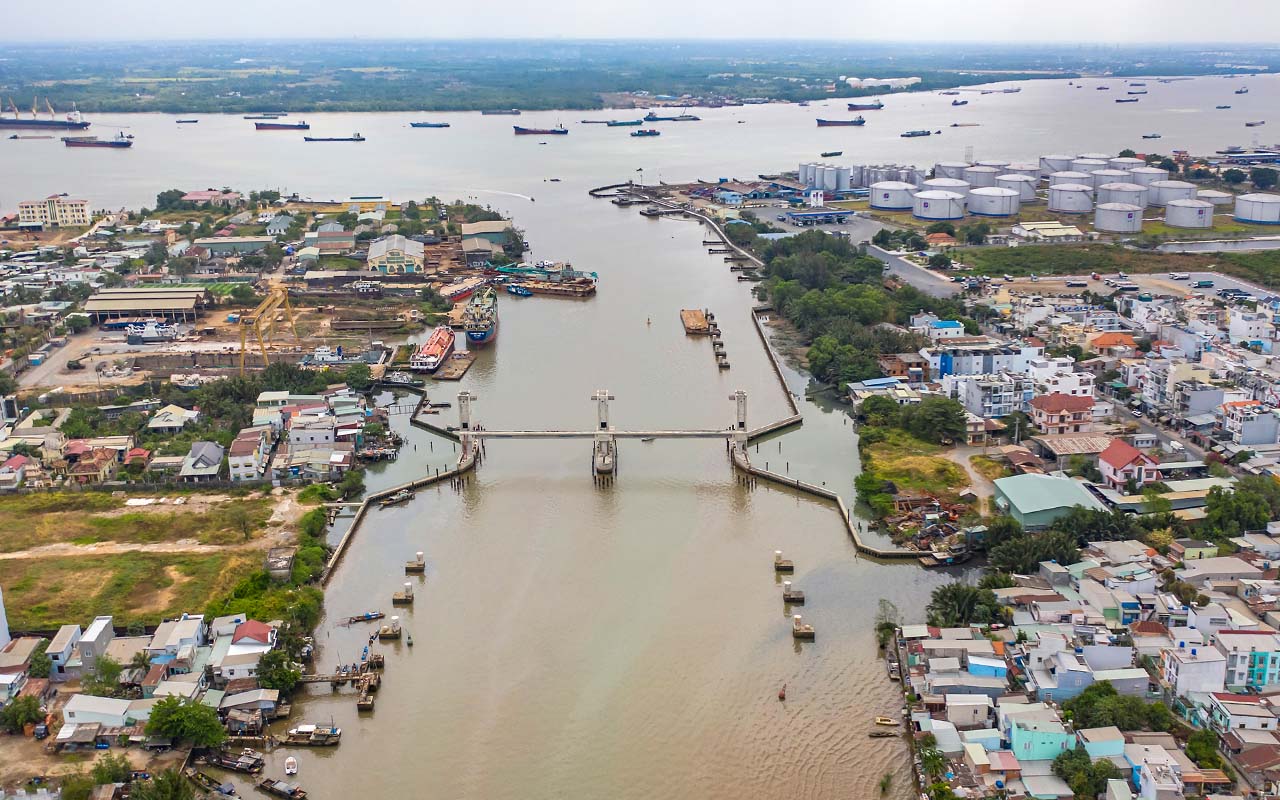
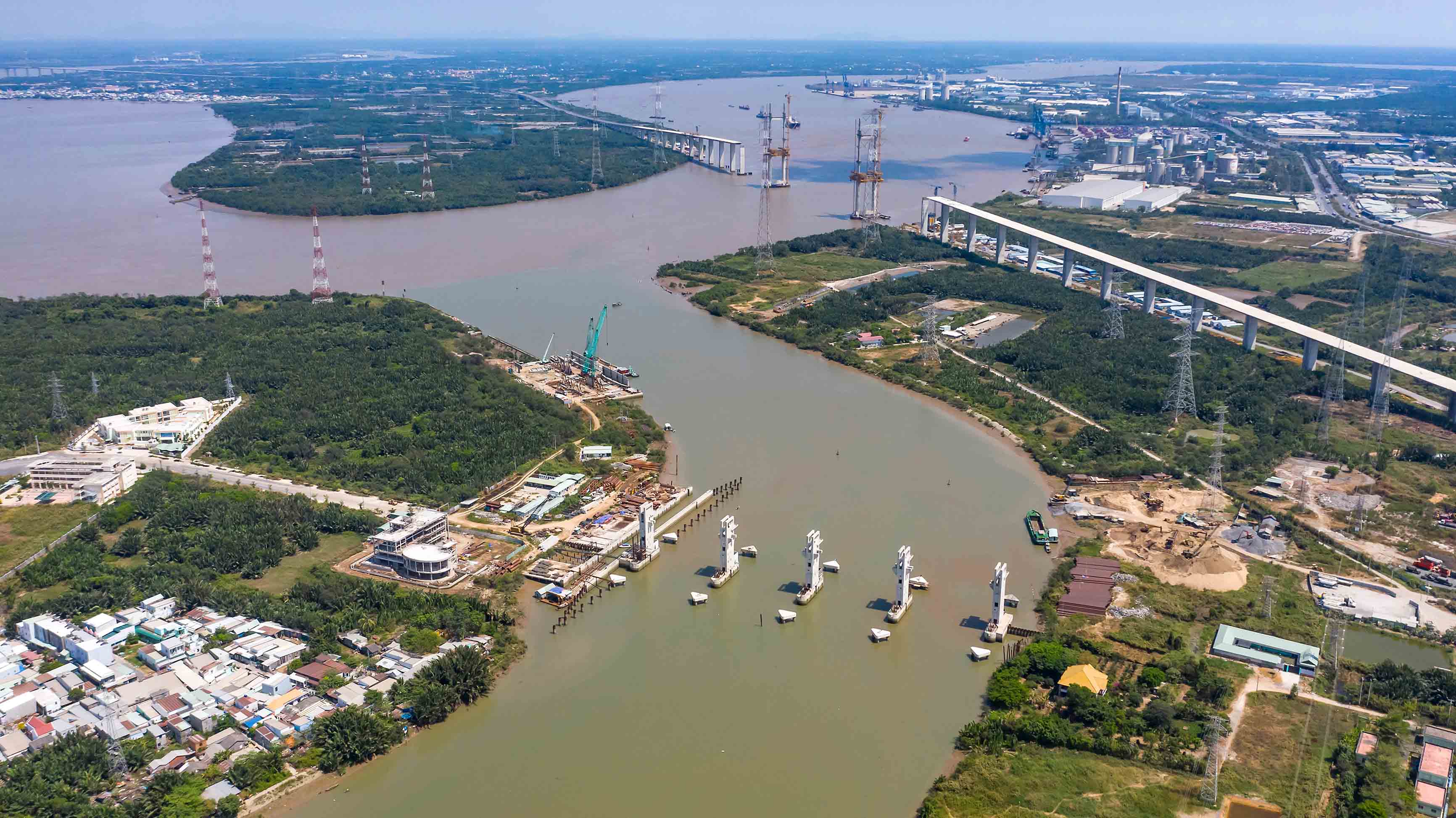
To preserve existing canal elevations while ensuring effective flood mitigation, the city is executing Phase 1 of the project "Tidal Flood Control in Ho Chi Minh City Considering Climate Change Factors". This highly feasible solution addresses flooding in low-lying zones. Trung Nam BT 1547 Co., Ltd. serves as the project investor under a Build-Transfer (BT) contract valued at nearly 10,000 billion VND. Major project components include 6 large tide control sluices—Ben Nghe, Tan Thuan, Phu Xuan, Muong Chuoi, Cay Kho, and Phu Dinh—along with small culverts and 7.8 km of critical dikes along the Saigon River. Construction progress has reached 78% of contract value, with operational launch scheduled for 2020.
Upon completion and commissioning, the tidal control project will safeguard approximately 570 km² and 6.5 million residents along the right bank of the Saigon River and central HCMC, while assisting existing drainage systems during heavy rainfall combined with high tides.
Once active, citizens will no longer navigate flooded streets, build sandbag barricades, or bail out dark, polluted water. Eliminating tidal flooding in low-lying areas protects local stores, preserves commercial stability, and secures residential livelihoods. Therefore, the tidal prevention project holds immense significance in stabilizing public life and propelling the socio-economic development of Ho Chi Minh City.
Communications Department